Last year, the City of Corvallis Public Works Department asked the community to help find, and develop, the Active Travel Corridor (ATC) network. Together, we identified over 100 ATCs, providing all of Corvallis with “people only” paths helping to shorten trips for those traveling by active modes.
May signifies National Bike Month and this year, we celebrate it again by honoring all of those who walk, ride and roll in and around our city.
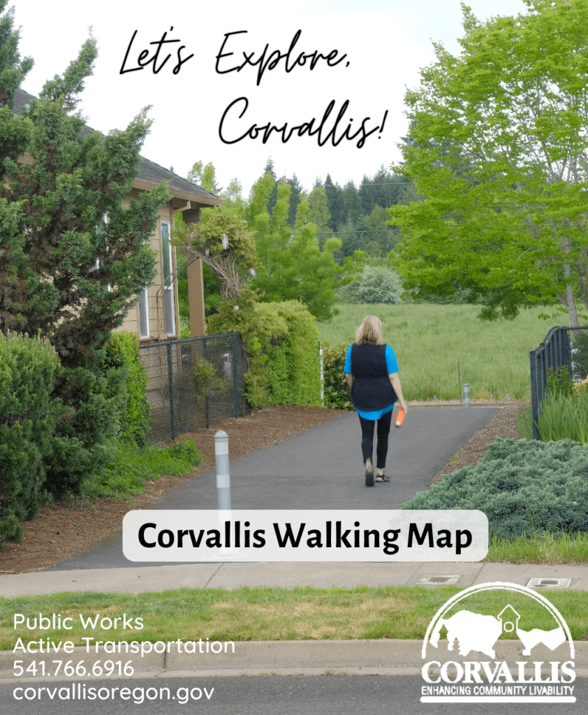
With our ATC network identified, the City has produced Corvallis’ first Walking Map to highlight the path network along with other foot-friendly locations. Useful markers such as where Corvallis Transit System (CTS) bus shelters are located, providing an outline of where the routes run and to alert you where to duck under should the weather turn wet. Corvallis Parks and Recreation trail and natural areas network are also called out. These paths invite you to wander the beauty of the City’s nearly 2,000 acres of places to play, explore and roam.
Download the Digital Version by visiting the Corvallis Walking Map website
Physical maps are coming soon! Email josh.capps@corvallisoregon.gov and we’ll let you know when physical maps are available to pick up around town.
Josh Capps is the Active Transportation Program Specialist for the City of Corvallis and a member of the Open Streets Steering Committee.
